Honoring the men, their memory, and their mission


DESTROYERS
Subscribe
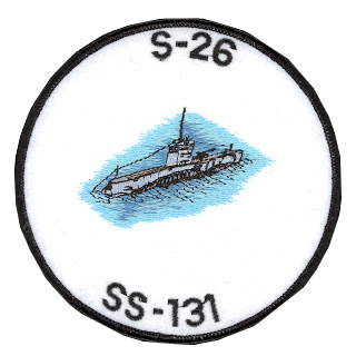
Abele
Drexler
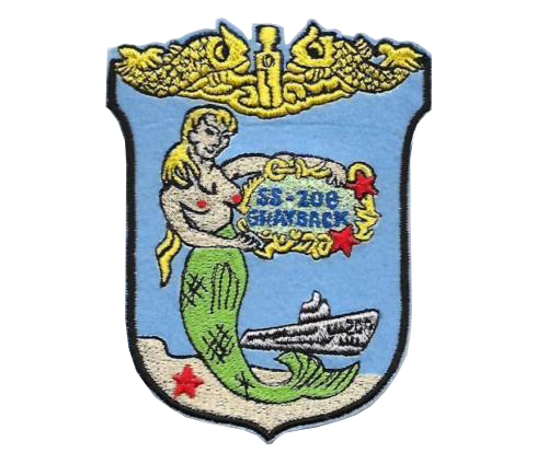
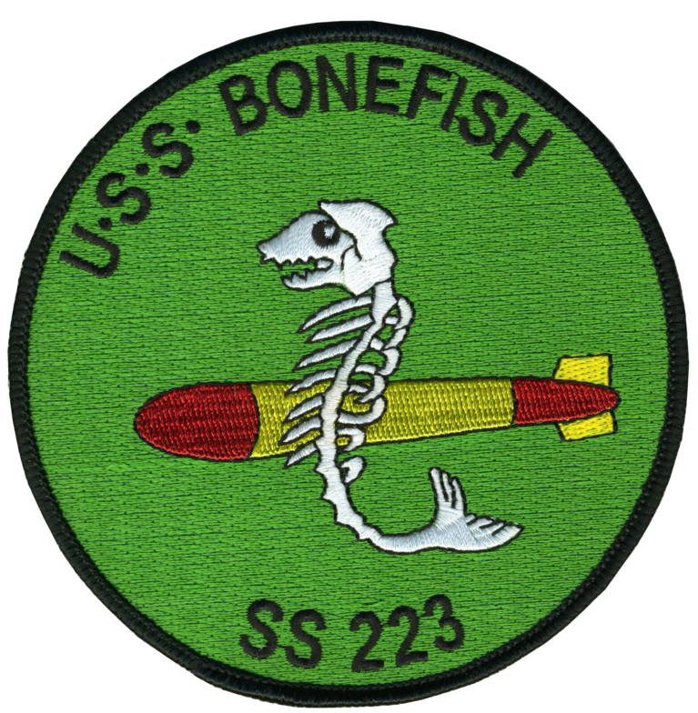
Porter
Underwater 4D Modeling
The misconception that this process already exists is one of the biggest obstacles in the continuing development of this technology. This obstacle is created by an acceptance of highly realistic renditions and animated presentations by graphic artists. The effort of sharing our oceans’ mysteries with the public at large for purposes of education and entertainment has resulted in a false impression of the state of underwater image technology. The fact is that the technology for viewing authentic images of the sites we explore remains underdeveloped and is not readily available. To date, photographic mosaics have only offered two-dimensional views.Currently seeing the underwater world in large swaths is done using sound or sonar, human vision uses light as the stimulus input. Sound technology has its limits especially for humans that interact with the rest of the world in the visible three-dimensional light wave spectrum. We can only see the physical underwater world in slices, never as one complete picture. Lost 52 Project is contributing the development of technology that allows us to view an entire WWII submarine wreck site, thermal vent, or great barrier reef ecosystem in its entirety, allowing everyone from student to researcher to explore and study at will.
This unique solution allows use to collect imagery and assemble into a master viewable experience that allows zooming in and out, exploring and researching across multiple disciplines, measuring archeological sites and new biological species with the highest degree of accuracy. This allows us to cataloging coral health and biomass and monitoring fishing trawl damage. It can also allow users to characterize and monitor marine protected areas (MPA) enriching and helping conserve them.

HUGIN 4500 and 6000 Integrated AUV / Payloads
• Side Scan Sonar
Synthetic aperture sonar combines a number of acoustic pings to form an image with much higher resolution than conventional sonars, typically 10 times higher. HISAS is a wideband SAS sonar with frequency range of 70-100kHz, capable of producing ultra-high-resolution acoustic images as well as co-registered bathymetry. The sonar is tightly integrated with the INS navigation and motion sensing platform of the HUGIN AUV and makes use of modern signal processing such as DPCA (Displaced Phase Centre Analysis) to process the raw data into images.
HISAS Interferometric synthetic aperture sonar
Edgetech dual/triple frequency side scan sonar
•Multi Beam Echo Sounder
Multibeam echo sounder (MBES) is a type of sonar that is used to map the seabed. Like other sonar systems, multibeam systems emit sound waves in a fan shape beneath a ship's hull. The amount of time it takes for the sound waves to bounce off the seabed and return to a receiver is used to determine water depth. Unlike other sonars, multibeam systems use beam forming to extract directional information from the returning soundwaves, producing a swath of depth readings from a single ping.
EM 2040 multibeam echo sonar 200-400 kHz .07˚x0.7˚ beam width, swath coverage sector up to 140˚ (+/- 70˚ single RX) 160˚ (=/_- dual RX)
•Magnetic Field
Self-Compensating Magnetometer (SCM) system that can operate with the sensor mounted inside an Autonomous Underwater Vehicle (AUV) to acquire high resolution, high quality magnetic data that is automatically compensated and corrected to remove the effects of the vehicle on the magnetic data OFG Self-Compensating Magnetometer (SCM) System for AUV’s
•Still Imagery- AUV
•Still Image Camera and LED light assembly
ROV -Remote Operated Vehicle
•Video and Still Imagery

Autonomous Underwater Vehicle - AUV
Remotly Operated Vehicle - ROV

HD $K Schilling ROV Camera captures HD video and converts to Ethernet signals using sealed, nitrogen-filled housing.
Depth rated 13,124 feet (4km)
Installation and Equipment
No physical invasive work is being undertaken in the Lost 52 Project. This is a search, survey, and imaging expedition of a historic set of targets lost in WWII. Once targets are discovered, the data collected will be studied, archived, and serve as a historical baseline record of the archaeological site for future surveys.
The AUV will survey large swaths of ocean bottom and identify archaeological sites utilizing synthetic aperture sonar, side scan sonar, multi-beam sonar and magnetometer. This will provide precision survey of surrounding geophysical bathymetry and locations of potential historic archaeological sites. Review of the data onboard will determine high probability targets that will be revisited by the AUV with high frequency (higher resolution) sonar and imagery payloads. If target is considered viable an ROV dive will be executed to film and record high definition still and video imagery. The ROV dive protocol will be structured to collect data that can be used to generate 3D photogrammetry data sets for later detailed archeological study. ROV dives typically take 12 hours.
The majority (98%) of surveys time will be accomplished using twin HUGIN 4500 AUV’s
(Autonomous Underwater Vehicle). Unlike towed sonar arrays, this AUV system requires no surface tether and operate independently minimizing and avoiding interference with shipping and fishery concerns.
The stability offered by vehicle design and control with the aid of computer-controlled track-lines over an archaeological site allow the AUV to avoid geophysical structures and collect imagery and sonar data for precise mapping of geologic and bathymetric data spanning large swaths of ocean bottom. Using the detailed AUV survey data the ROV, with station keeping systems, will fully map and survey any viable archeological site using, multibeam echo sounder, HD video and high resolution still photography while keeping the ROV system at safe and non-invasive distances from the site.
This project does not propose any type of site disturbance, or artifact recovery. Any type of site stabilization or restoration is beyond the scope of this project. However, this project will provide valuable data required for developing and preservation plan for the site, should it be determined as needed.
This project has been planned as a non-disturbance survey. There is expected to be little to no
environmental damage to the sites and no contact with the wrecks or their contents. The only site impact may be slight disturbance of bottom sediment at times when the ROV’s external thrusters create downward prop wash. The operation will avoid agitating and potentially destructive effects of fragile objects, including human remains, as well as disturbing the provenience and compromising the archaeological integrity of the site. Although it is understood that it is not the intention to use prop wash to clean the site, the prop wash will have zero effect on the disturbance of the wreck site.
Methods and Scientific Instruments
All exploration will be non-invasive and will consist of only passive data collecting for archeological purposes.